Have You Tried the Paparoa Track?
The Paparoa Track is a shared-use Great Walk and mountain biking trail that travels through the Paparoa Range, alpine tops and thriving rainforests in the Paparoa National Park.
Paparoa Track, Paparoa National Park, West Coast | 56.2km Grade 4 ride | 55km Intermediate Great Walk
Our track safety video was produced by the NZ Mountain Safety Council (MSC) in collaboration with Ngāti Waewae and the Department of Conservation (DOC). The video guides visitors through the amazing trail and is packed with advice on how to get the best experience out of the Paparoa Track.
It highlights the varied conditions mountain bikers and trampers can expect, covering important tips including how to pack a balanced bike, a suggested packing list, the common risks and hazards, and key decision-making points.
The Paparoa Track comes with its challenges, but we have identified some of the best places to stop, take a break, refill your drink bottle, enjoy the surroundings, check the weather, and regroup.
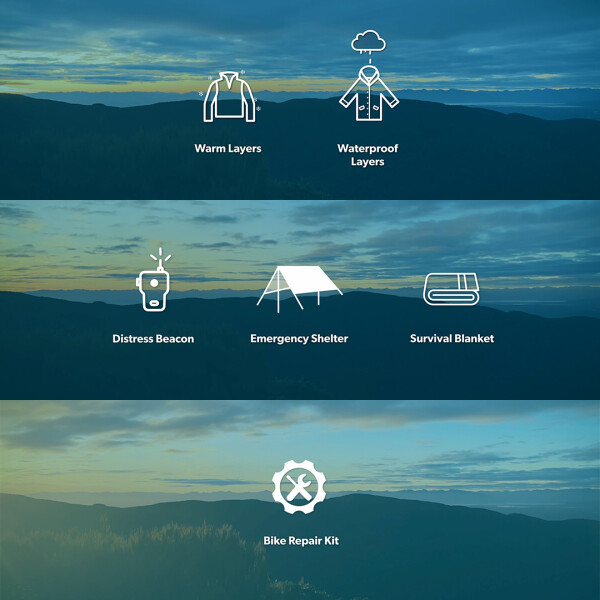
Gear list essentials
- Warm and waterproof clothing: Before heading to the West Coast, it’s important to prepare for all conditions by taking warm and waterproof clothing.
- An emergency shelter and survival blanket: The severe weather conditions the track experiences means packing an emergency shelter and survival blanket are also essential in case you need to wait out any severe weather, flooding, or an injury that requires a rescue.
- A distress beacon: While phone reception is available in some spots along the track, including Ces Clark Hut, a distress beacon is still an essential item.
- A repair kit: You’ll be on your own out there, so, if you’re riding, carry a repair kit for your bike to tackle any unexpected mechanical issues.
Packing your bike
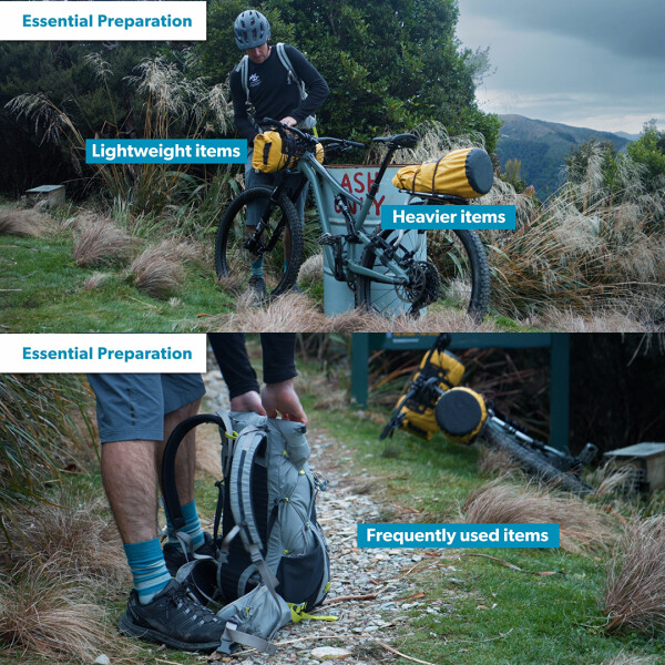
A key part of your preparation is having a well packed and balanced bike. There are plenty of options for carrying your gear, but in general we recommend:
- Lighter items on the front of your bike. This is a perfect spot for your sleeping bag.
- Heavier items in a frame bag or on the back of the bike where it will have less influence on your bike’s handling.
If you’re wearing a backpack, keep it light and use it to store items you will use throughout the day.

Leave your intentions with a trusted contact
Be sure to leave your intentions with a trusted contact before starting the trail. An easy way to do this is by using the Plan My Walk app or website, which also helps you plan your trip, with track alerts and weather forecasts built in.
Check the weather
The track is open year-round, however severe weather such as heavy rain, strong winds, snow, and freezing temperatures can occur any time of year.
- Ice and snow areis more common in the winter months, adding another hazard to exposed sections of the track.
- The average temperature fluctuates from 18 degrees in summer to 4 degrees in winter.
- However, it is the wind that is possibly the greatest hazard and may result in the Department of Conservation closing the track.
Check MetService in the days leading up to hitting the track, and on the day.
Share the trail and take regular breaks
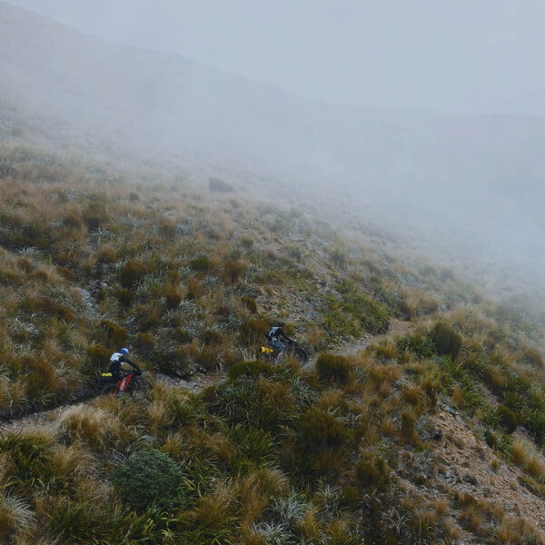
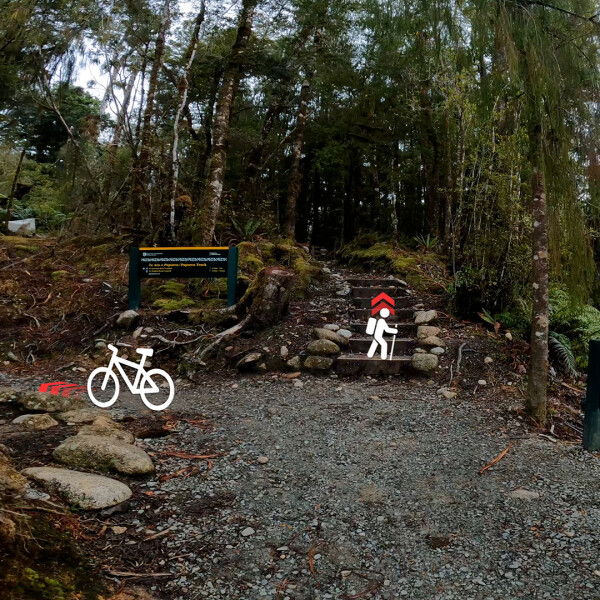
Both trampers and cyclists share this wonderful trail, so remember to be courteous, stay in control, signal your approach, give way when appropriate, stick together as a group, and always try and acknowledge others who are also out to have a great experience.
We have identified a handful of good spots to take a break and reassess:
- Ces Clark Hut: There is mobile phone reception available, so it’s a good place to update your trusted contact on your progress and to get the latest weather forecast.
- Moonlight Tops Hut: All trampers are encouraged to stay a night here, as it is a very long way to walk from Ces Clark to Pororari Hut in a day. For riders, even if not staying overnight, this is another great spot to take a break, check brakes, get an updated weather forecast and replenish your water.
- Pike29 Memorial Track junction: for walkers this section is straight forward, but for riders there is a lot of downhill, so it’s a good place to stop and check bike brakes before leaving Moonlight Tops.
- The Emergency Shelter: This is a good spot to take a break, but be aware that overnight use of the shelter is for emergencies only.
- Pororari Hut: This is another great spot to take a break, enjoy the views and top up on water if you aren’t staying the night here.
There are a few rules specific to mountain biking and tramping the Paparoa Track:
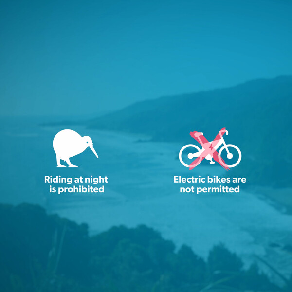
- Riding at night is prohibited to protect the nocturnal wildlife in the area.
- Electric bikes are currently not permitted.
- And this is a shared use track, so remember to be courteous, stay in control, signal your approach, and give way when appropriate.
Watch the Paparoa Track video for a ride-through to help plan your trip by learning important tips including how to pack a balanced bike, a suggested packing list, the common risks and hazards, and key decision-making points and pit stops.
- Read more about the new video here.
If you’re keen to do this track
- Learn more about Backcountry Mountain Biking
- Get Local information from the Greymouth iSite or find a Paparoa National Park Visitor Centre
- Find this track in Plan My Walk to get weather, gear list, track alerts and reviews from other trampers and bikers to help build a plan.
- Find a PLB Hire location
- Organise your shuttle/transport and accommodation for the track.
- Look for the equipment you need and chat to staff at your local bike or outdoor retailer, discussing the best options for your budget and activity objectives is always good idea.